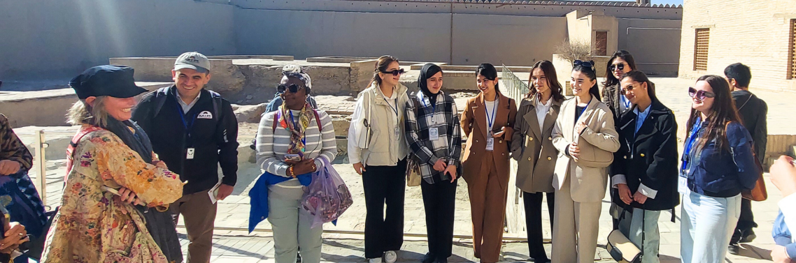
At the Crossroads of Europe, Asia and the Middle East
Photo credit: Jake Smth
Jun 21, 2026
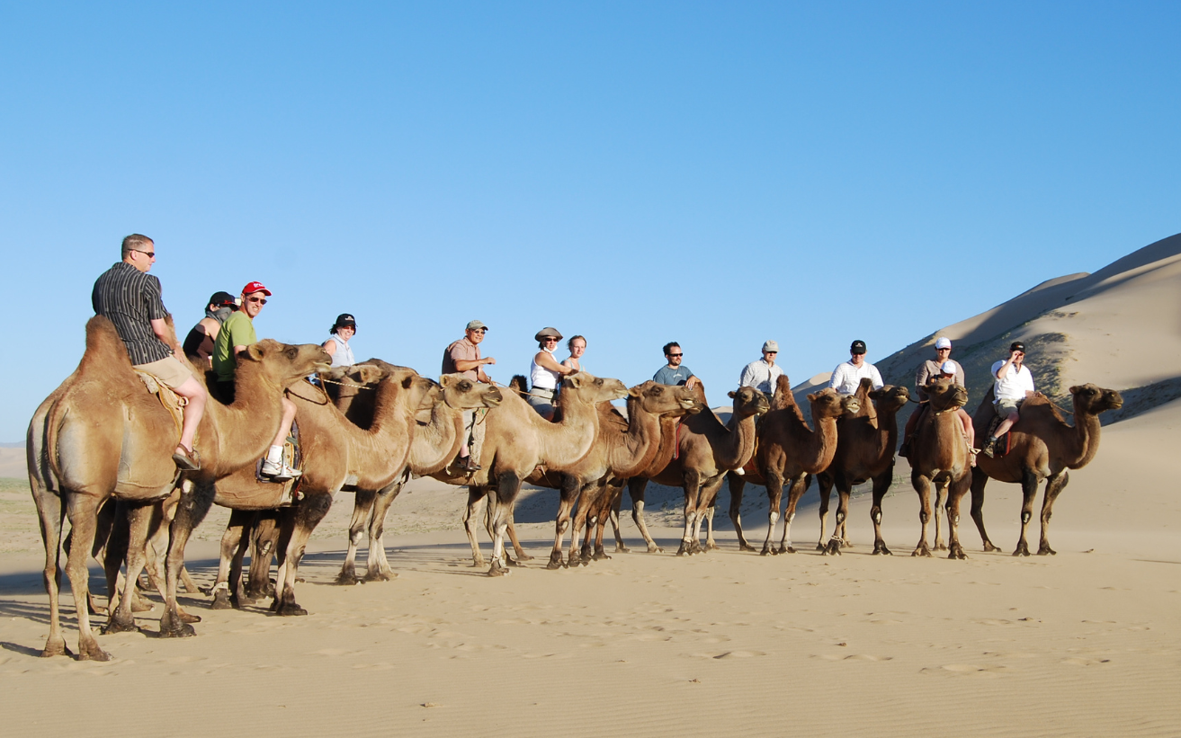
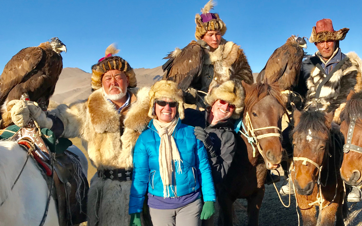
Why Mongolia Belongs on Your List
May 22, 2026
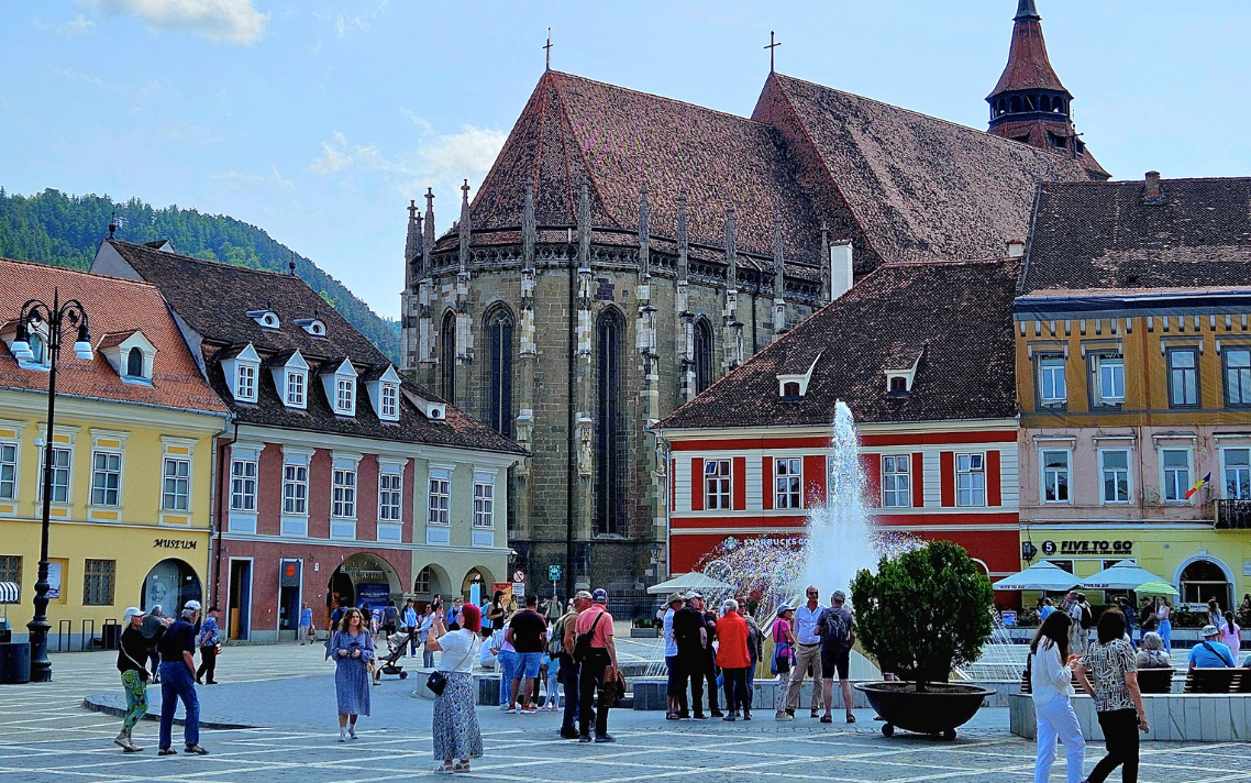
There’s More to Romania Than You’d Expect

Mar 15, 2026
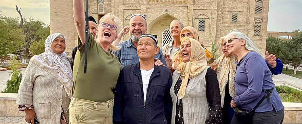
The Oral Traditions That Outlasted Empires

Jan 23, 2026
MIR’s Month by Month Travel Guide to 2026

Jan 18, 2026
Balkans or Baltics?

Dec 16, 2025
What MIR Travelers Can Look Forward to in 2026
Nov 23, 2025
4 Journeys That Bring You Closer to Local Life

Nov 09, 2025
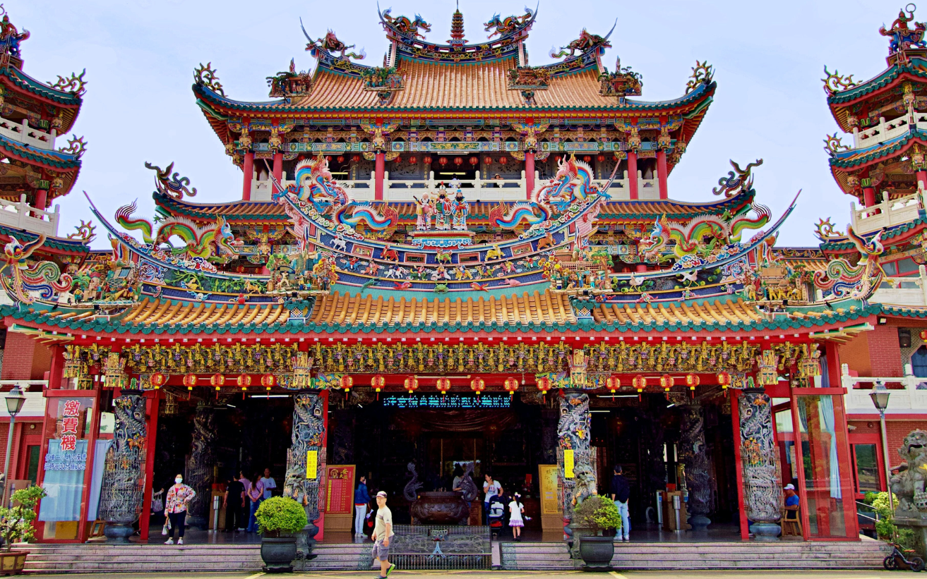
Taiwan Joins the MIR Map
Nov 02, 2025
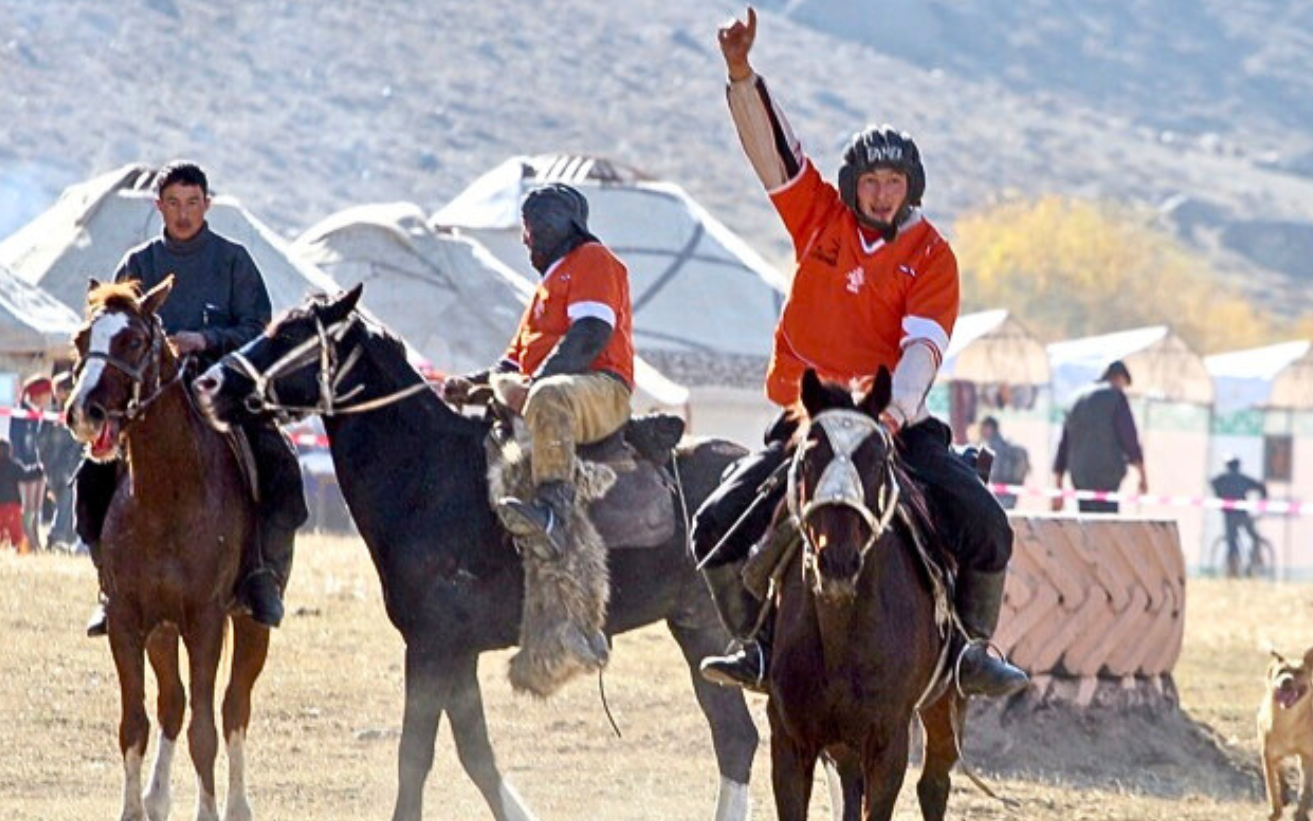
Dates Announced for World Nomad Games 2026
Start Dreaming
Request our free full-color, 174-page, 40th Anniversary, 2027 digital catalog detailing over 70 small group tours, independent trips, and rail journeys by private train.